November 12, 2024
JAKARTA – Authorities have widened the exclusion zone as volcanic activity at Mount Lewotobi Laki-laki continues at a high level in East Flores, East Nusa Tenggara (NTT).
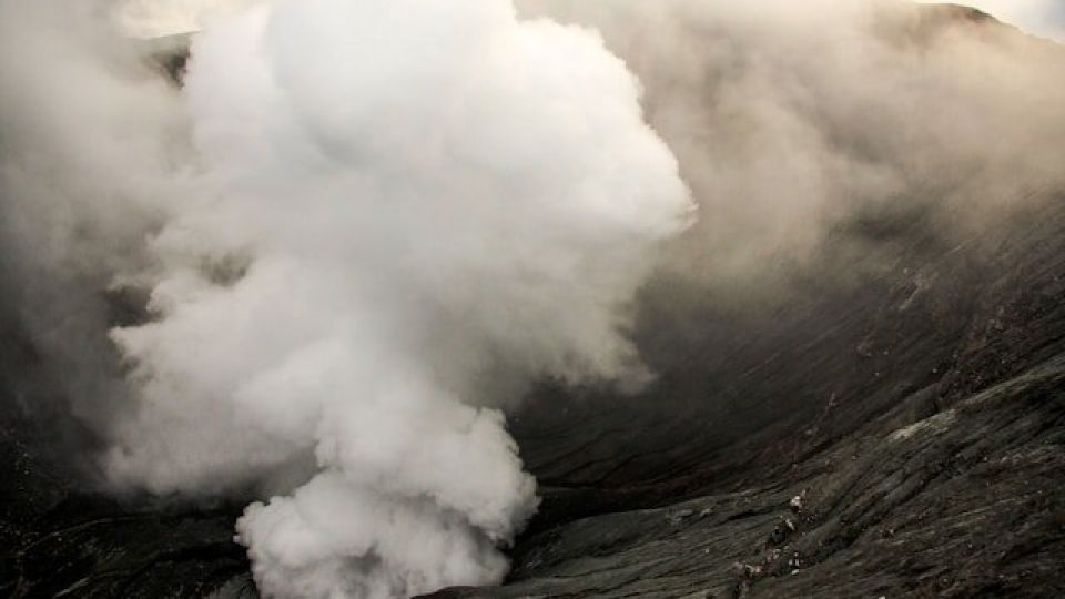
Herman Yosef Mboro, head of the Lewotobi Laki-laki Volcano Monitoring Post, reported that one eruption on Sunday morning lasted about 7 minutes and 5 seconds, and an eruption earlier in the day spewed a volcanic material column that had reached 6,000 meters above the crater.
Lava flows toward the northeast have reached 4,340 m from the eruption center.
For safety reasons, the danger zone radius has been expanded to 9 kilometers from the summit of the mountain.
“People around Lewotobi Laki-laki, including visitors or tourists, should not engage in any activities within a 7-km radius of the eruption center, and within a 9-km radius toward the southwest to northwest sector,” Herman said on Sunday as quoted by kompas.id
Herman also urged the public to remain calm, follow government instructions, and not believe in information from unverified sources. He further advised caution regarding the potential for rain-induced lahar floods along rivers originating in the mountain’s slopes.
Volcanic eruption monitoring and recording activities continue at the monitoring post, which is located about 7 km from the summit.
On Friday, officials had to evacuate the post due to hazardous volcanic materials spewed during an eruption that created an 8,000-m high column above the crater.
Continuous eruptions have been ongoing since a major eruption on Nov. 3. A total of nine people have been killed, with 31 severely injured. Most of the victims were hit by volcanic rocks ejected from the crater.
Officials raised the volcano’s alert level to the highest of a four-tiered system after the eruption.
Heri Lamawuran, spokesperson for the Lewotobi Laki-laki Volcano Emergency Response Team, reported that the expansion of the danger zone had been followed by the evacuation of affected residents. As of Sunday morning, the number of evacuees numbered 11,445 people.
The evacuees are spread across various locations, including government-built posts and self-organized shelters. “Self-evacuated refugees are continuously being recorded to ensure they have access to aid,” said Heri.
Two districts in East Flores, Wulanggitang and Ile Bura, have been the most severely affected by the eruption. The residents have already left their villages in search of safer locations.
“Only a few young people occasionally return to feed their livestock,” said Paulus Tukan, head of Pululera village in Wulanggitang.
According to Paulus, the current eruption period was worse than previous ones they had heard of from previous generations. Some residents who initially insisted on staying at home have now relocated to safer areas.
The government plans to permanently relocate all residents living within a 7-km radius of the crater.
Permanent relocation is being considered as a “long-term mitigation measure” to anticipate similar eruptions in the future, according to the National Disaster Mitigation Agency (BNPB)
There are more than 16,000 residents living in the nearest villages from the volcano, but the government is still calculating how many residents will be permanently relocated.
The Volcanology and Geological Disaster Mitigation Center (PVMBG) has been recording volcanic activity on the mountain since December of last year, reporting near daily gray or white-and-gray ash plumes, some rising as high as 1,000 meters above the summit, that drifted to the west, northwest and southwest, prior to the Nov. 3 eruptions.
Laki-laki, which means “man” in Indonesian, is twinned with a calmer volcano, Perempuan, named after the Indonesian word for “woman” with a 2 km saddle between them.
There have been at least 20 recorded eruptive periods at the two stratovolcanoes since 1859.
In January, Mt. Lewotobi Laki-laki erupted several times. One eruption spewed volcanic ash 1.5 km above the mountain’s peak, prompting more than 2,200 residents to evacuate to temporary shelters set up by local administrations.
The volcanic ash also forced Frans Seda Airport, located more than 80 km away, to close temporarily.
The archipelago experiences frequent eruptions due to its position on the Pacific “Ring of Fire”, an area of intense volcanic and seismic activity. (dre)


